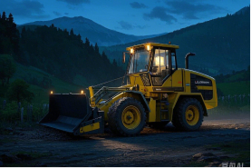
TMC10
Dozer 3D Guidance System
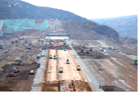
TMC10 Dozer 3D Guidance System pairs high-precision Beidou GNSS technology with construction machinery. It precisely tracks the blade's position and orientation, aligning with 3D digital plans to guide users via digital readouts or indicators. Utilizing global navigation and embedded technology, the system offers real-time control over dozing tasks, boosting accuracy, efficiency, and safety. It's ideal for road and rail grading, dam construction, riverbed leveling, and land preparation in large-scale projects and agriculture.
System Composition
System Characteristics
High Precision
The system combines GNSS positioning and sensor fusion to achieve centimeter-level accuracy in control.
Stakeless Operation
The system integrates algorithms with 3D plans for digital guidance, removing the need for professional surveyors.
24-Hour Continuous Operation
The system supports 24-hour continuous operation and allows reliable operation at night.
Easy Installation
Featuring straightforward installation and intuitive operation, users can quickly become proficient.
High-Precision Intelligent Display Screen
Its high-resolution, high-brightness screen guarantees clear visibility, making it perfect for various work environments.
Easy Import
The system enables easy import and conversion of design specifications
Application Area
Road Grading
Construction Operations
Riverbed Leveling
Land Preparation
Nighttime Operations
Farmland Leveling