


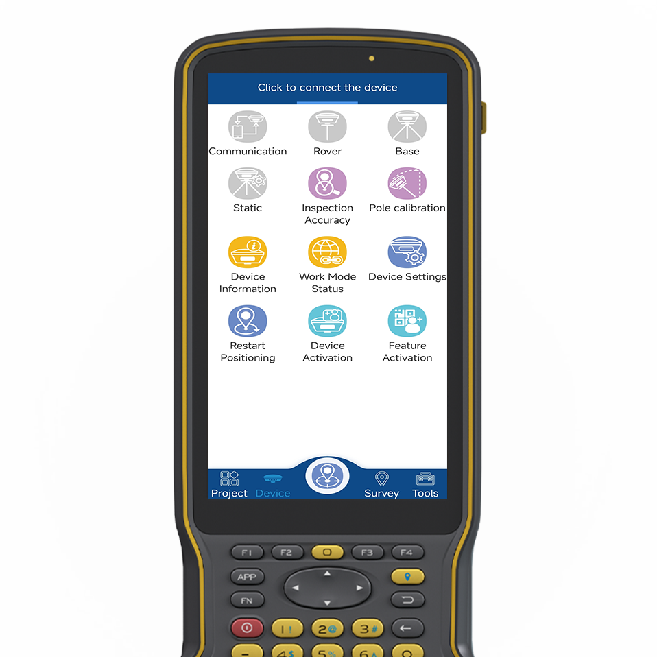
Software
Software
GNSS surveying and mapping software based on years of market experience, it combines the functions of surveying and mapping data acquisition with the functions of RTK control and acquisition, road design and lofting. The software has humanized operation flow, more excellent graphical interaction and more powerful functions.
Copyright © 2025 Guangzhou TokSurvey Information Technology Co.,ltd
Privacy Policy