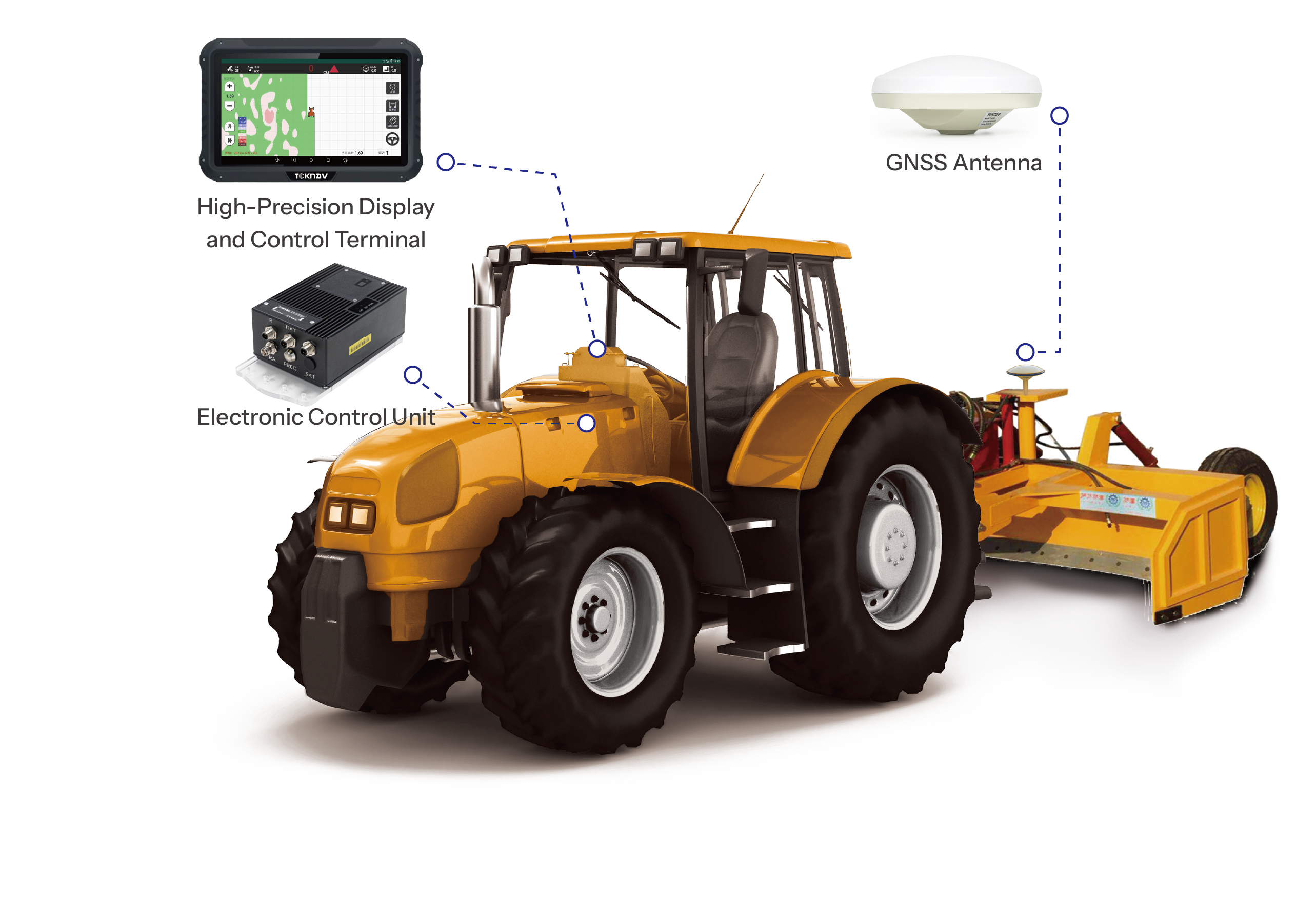
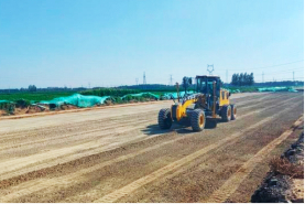
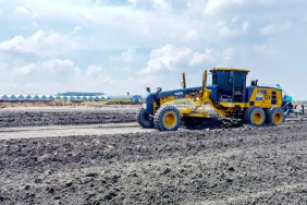
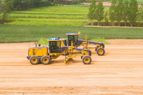
TAG88
Automated GNSS Land Leveling System
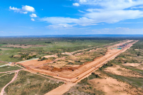
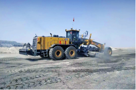
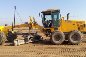
TAG88 Automated GNSS Land Leveling System is a fully automated satellite-based control system for precise land leveling in agriculture. It operates 24/7, covers a 30-kilometer radius, and eliminates the need for frequent base station relocation. The system supports multiple units working simultaneously. With real-time display of fill and cut volumes and automatic adjustments to the leveler's position, it allows for rapid, accurate construction without prior staking, improving efficiency, reducing rework, and boosting economic benefits.