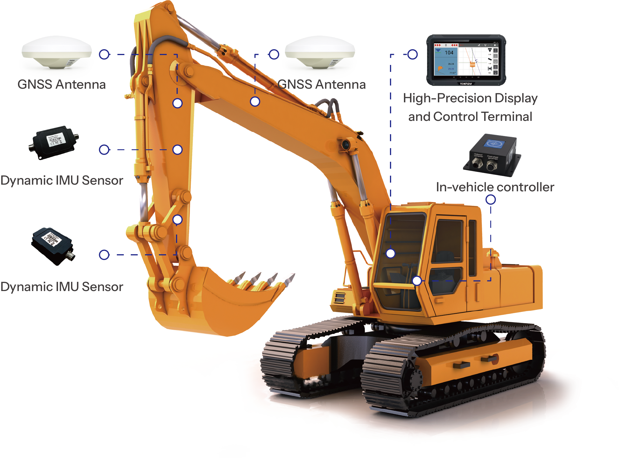
TMC20
Excavator Guidance System
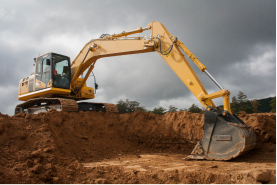
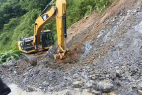
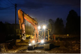
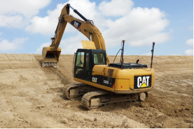
TMC20 is an efficient excavator guidance system using BeiDou satellite positioning to provide real-time graphical and numerical information. It is suitable for projects like underwater riverbed excavation, riverbed dredging, riverbank slope trimming, and high-speed track construction. The system reduces on-site personnel, achieves one-person-one-machine operation, lowers labor costs, and enhances construction quality and efficiency.